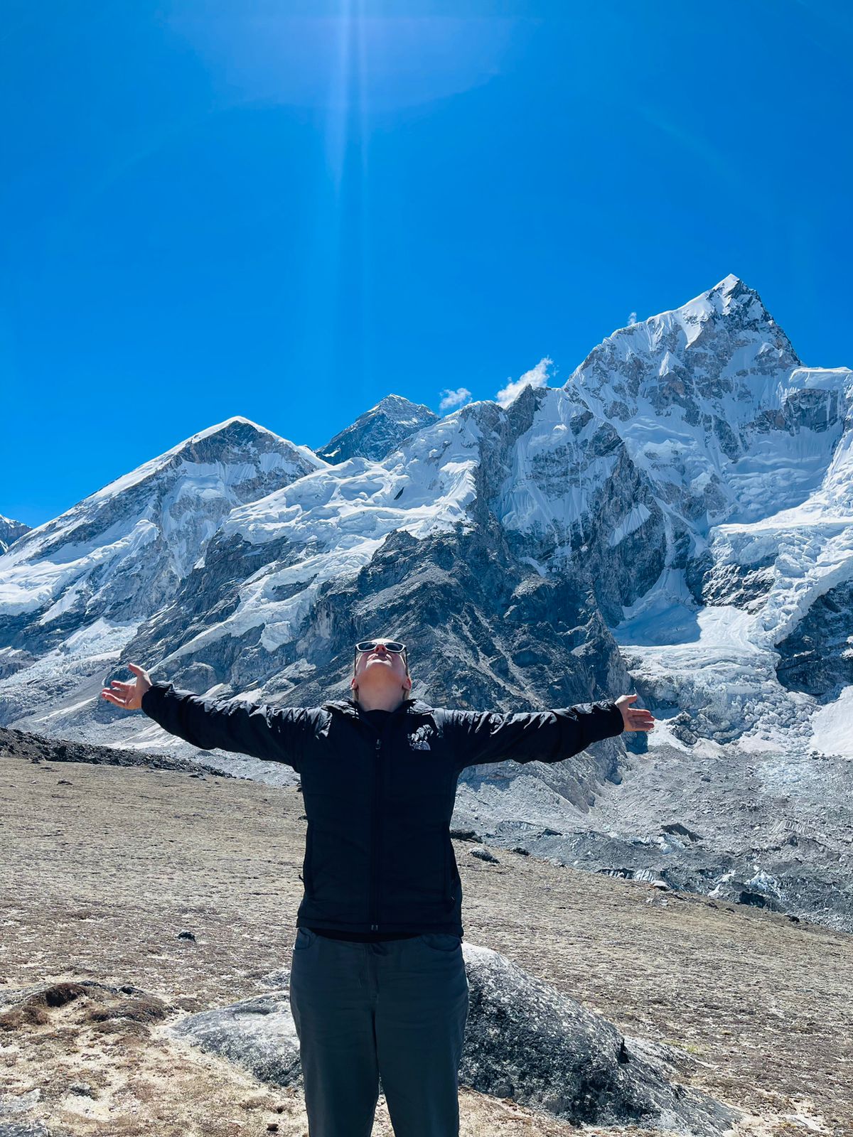
Lhotse the fourth highest peak in the world at an elevation of 8,516 meters/ 27,940 feet lies on the border between the Tibet Autonomous Region of China and the Khumbu region of Nepal. The peak’s northern side is formed by the massive wall of Everest and the western side by the mighty Nuptse. Lhotse has four distinct summits: Lhotse Main at 8,516 meters /27,940 feet, Lhotse Middle/ Lhotse Central I or Lhotse East at 8,414 meters/ 27,605 feet, Lhotse Central II at 8,372 meters/27,467 feet and Lhotse Shar at 8,383 meters/ 27,503 feet. The Lhotse Main considered an intermediately difficult eight-thousander ascended from the standard Reiss Couloir route. The secondary summits and extremely steep South Face are regarded as some of the most difficult and dangerous climbs in the world. The icy Northeastern Face still remains unclimbed.
The Lhotse peak is connected to Everest by the South Col located on the west face. Lhotse’s South Face rises rapidly, making it the steepest mountain face in the world. This section also consists of Yellow Band, an area of sandstone rock where crampons become less effective. Another hurdle Geneva Spur, a large rock structure near the summits of Everest and Lhotse situated above Camp III and the Yellow Band, before Camp IV and the South Col. So a high level of physical and mental fitness with prior climbing experience is required for this expedition.
The adventure begins with a scenic flight from Kathmandu to Lukla. From Lukla, you will begin the trek traversing across various settlements and deep sections of wilderness. Crossing the villages of Phakding, Namche Bazaar, Dingboche, Lobuche, and eventually to Everest Base Camp. After various activities and training at the base camp head on the climb. The climb takes you to Camp I, II, III, IV, and finally to the summit of the Lhotse. After scaling the peak head back towards the camps and back to Namche Bazaar and eventually to Kathmandu.
Lhotse South Face Route Camps:
Camp I (Altitude: 5900 meters/ 19,356 feet)
Camp I is situated at an altitude of 5900 meters in the middle of huge boulders and surrounded by loose rocks.
Camp II (Altitude: 6400 meters/ 20,997 feet)
Camp II is situated at an elevation of 6400 meters. The camp is nestled in the lateral moraine at the bottom of southern ridge. The camp is also known as the main acclimatization camp.
Camp III (Altitude: 7100 meters/ 23,293 feet)
Camp III is situated on a southeastern ridge on the Lhotse wall. Providing grand views of the mountains around.
Camp IV (Altitude: 7900 meters/ 25,918 feet)
Camp IV is the last camp before summiting the Peak. The camp is nestled in a relatively flat area having loose rocks. From the camp, the Lhotse nestles on the southern side. The climb to the camp is inclined to have slopes ranging from 40 to 50 degrees.
Camp IV to the Summit of Lhotse
From camp IV head towards the summit. Traversing across glaciers, snow, and steep surfaces. The climb takes you to the summit of the southern face of Lhotse.
Entry fee and Permits:
The following permits are required Lhotse Expedition:
1) Mountaineering Fees: Spring Season 1800, Autumn Season 900, Winter/Summer 450 (USD)
2) Sagarmatha National Park Entry Permit and
3) Khumbu Rural Municipality Entrance Permit.
The Nepal Tourism Boards office in Kathmandu or the park’s entrance gate in Monjo can provide you with Sagarmatha National Park Entry Permit for NRS 3000.
The fee for citizens of SAARC nations is NRS 1500.
You must complete the permit application and present your passport or a copy of your passport. You must be in Lukla to obtain the Khumbu Pasang Lhamu Rural Municipality Entrance Permit. The permission costs NRS 2000 and may be acquired at the rural municipality counter on the outskirts of the settlement.
You won’t have to worry about waiting for permits since the Alpine Club of Himalaya or our guides will take care of everything.
Accommodation:
You will be accommodated in 3-star hotels in Kathmandu. During the trek, we will be staying at lodges/ teahouses providing basic facilities. From the base camp, you will be staying in makeshift camps.
Meals and drinking water:
Everest region Trek is one of the most facilitated trekking destinations of the country, providing basic to luxury ones.
In this trial, you’ll be provided with a variety of cuisine to choose from. Nepali, Tibetan, Indian, western as well as continental meals. As the region has small tea houses to luxury hotels the facilities they provide are basic to grandeur according to your budget. Try various traditional cuisine and popular snacks and delicacies renowned in the region.
Similarly, drinking water is accessible with natural water supplies which are untreated, so direct use of the water is not recommended, you may refill boiling water or cold filter water from any of the teahouses. However, if you buy a water purification tablet, chlorine drops or utilize SODIS (sunlight assisted) filtration procedures for further assurance, saving money, and reducing plastic pollution.
Best Time to Visit?
The best season for trekking in the Everest region is during the season of autumn and spring, the months of September, October, November, March, April, and May.
During the autumn season, the months of September, October, and November the weather is clear with warm temperatures and the visibility is great. As the weather is mild it’s very easy to get around the region.
The spring season of March, April, and May is also the best time to visit the Everest region, marking the end of the winter, the spring season brings a change in the topography of the region and the destination comes to life with endless rows of different colored rhododendron, moss and orchid draped trees, colorful undergrowth stretching for miles and the snowy white mountains peaks on the backdrop of clear blue skies.
Monsoon season is not favorable for trekking as the weather gets harsh and it’s hard to get around the country with frequent landslides and floods. So usually, monsoon season is avoided by trekkers.
In the winter season, the area receives a high amount of snowfall, covering most of the trail, and access is denied to most of the regions of Everest, making it hard to trek.
Travel Insurance:
All clients participating in any activity must have travel insurance. Personal injury, death, hospital expenditures, repatriation fees, helicopter rescue. Any other disease covered by the insurance plan will be given. We highly advise you to acquire a comprehensive insurance plan from a trustworthy insurance company.
Passport and Visa:
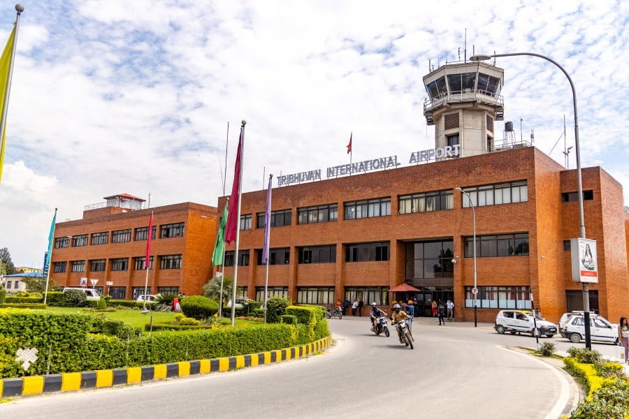
Every client must have a valid passport from the return date with a 6 months prior validity by the Nepalese consulate in your country or immigration office at Tribhuvan International Airport in Kathmandu.
Important note:
Your safety is of paramount importance to us at the Alpine Club of Himalaya. We have the absolute authority to cancel the trip or change the itinerary, when deemed necessary or when we have reason to believe your safety is at stake. Weather conditions, the health condition of a group member, natural disasters, and such, can contribute to changes in the itinerary when traveling in remote mountainous regions. In these extreme situations, we kindly request that you offer your full co-operation to the trusted leader of the group appointed by the Alpine Club of Himalaya. However, we assure you that we will make every effort to keep to the above itinerary.
Overview
Lhotse the fourth highest peak in the world at an elevation of 8,516 meters/ 27,940 feet lies on the border between the Tibet Autonomous Region of China and the Khumbu region of Nepal. The peak’s northern side formed by the massive wall of Everest and the western side by the mighty Nuptse. Lhotse has four distinct summits: Lhotse Main at 8,516 meters /27,940 feet, Lhotse Middle/ Lhotse Central I or Lhotse East at 8,414 meters/ 27,605 feet, Lhotse Central II at 8,372 meters/27,467 feet and Lhotse Shar at 8,383 meters/ 27,503 feet. The Lhotse Main considered an intermediately difficult eight-thousander ascended from the standard Reiss Couloir route. The secondary summits and extremely steep South Face regarded as some of the most difficult and dangerous climbs in the world. The icy Northeastern Face still remains unclimbed.
Trip Highlight
- Ascend the 4th highest mountain in the world.
- Traverse across various landscapes and microclimates.
- Explore isolated villages.
- Visit ancient monasteries of the region.
- Learn about the rich culture and traditions of the indigenous people.
- Witness views like never before views of the greater Himalayan range.
- Thrilling and adrenaline rush Adventure.


Write a Review